
Some of the shortest paved runways in the US State of Washington
| Airport | Runway | Length (in feet) |
| W16 First Air (Monroe) | Rwy 25 | AIRPORT: First Air Field, Monroe, WA (W16) PUBLISHED: 2087 x 34 (ASPH) – NW Chart Supplement AF/D Rwy 25/7: 2082 (ATD) full length pavement via Google Maps, not including the ~400-foot grass extension on the west end. Rwy 25: 1587 (ALD) considering the displaced threshold, confirmed via Google Maps. This technically makes the available landing distance (ALD) of the paved portion of First Air (W16) Runway 25 the shortest paved public runway in Washington State. However, this technicality ignores the 400-foot grass extension/overrun, which can both serve as available take off and landing distance, so from a practical aspect, the total usable runway is more like 1987 feet, aka not particularly short. However, Since the approach to runway 25 is over the Evergreen State Speedway/Fairgrounds/Equestrian Center, and that the ground slopes up several hundred feet to the east, it serves as a great training approach for short field operations. I watched an RV do 3 low approaches before they made the touchdown. Sadly the the airports’ primary proprietor, a local dentist, has recently died, leaving the airport in disrepair and reported sold to Snohomish County for PUD use and scheduled to close sometime soon. |
| 3B8 Shady Acres (Spanaway) | Rwy 34 | PUBLISHED: 1800 x 20 (ASPH) – NW Chart Supplement AF/D Rwy 34: 1600 ALD (“Threshold displaced 200′” confirmed ~1620′ via Google Maps) Rwy 16: 1800 (confirmed ~1815′ via Google Maps) |
| W27 Woodlawn State (Woodlawn) | Rwy 14 | 1663 (ALD) |
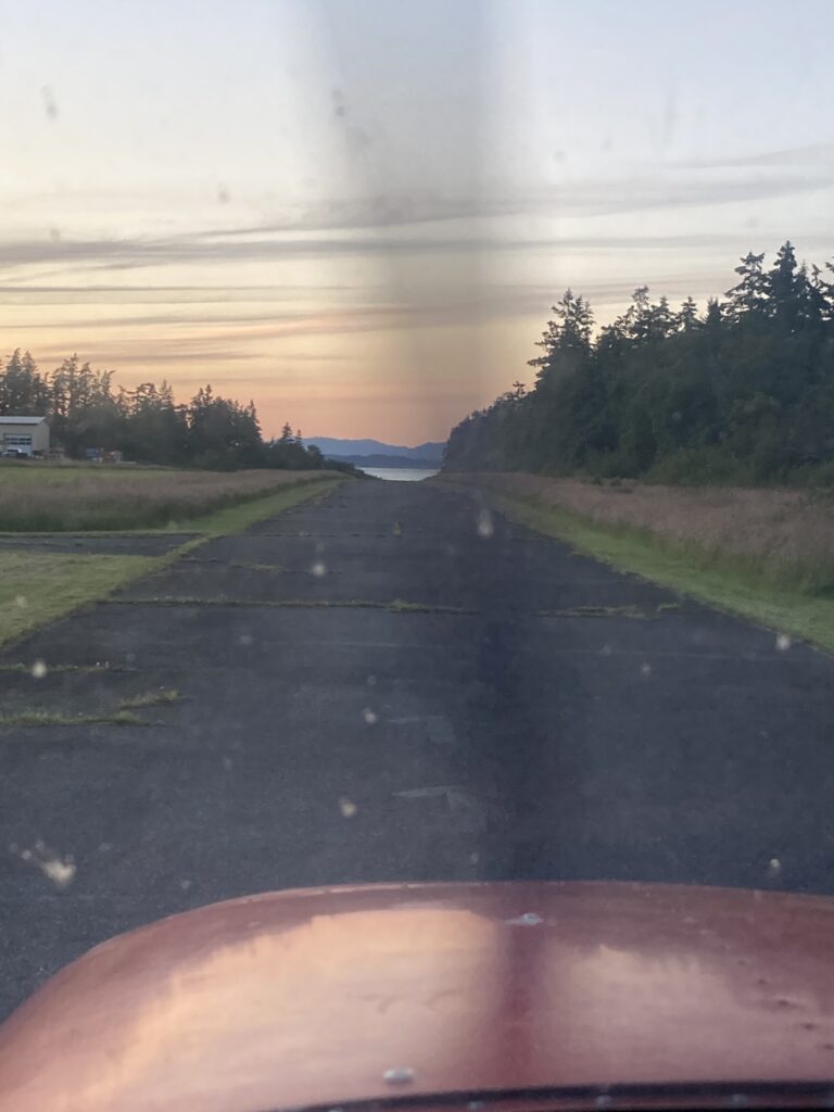
| 13W Camano Island (Stanwood) | Rwy 16/34 | 1750 |
ALD = Available Landing Distance
“Short runways” requires context – paved, sand, gravel or grass? Level or sloped? public or private? In the 48 states, the shortest “runways” are backcountry portals often not resembling a place a plane can land. There are many runways that are shorter than these presented, however they are either private, or unpaved.
AIRPORT: First Air Field, Monroe, WA (W16)
PUBLISHED: 2087 x 34 (ASPH) – NW Chart Supplement AF/D
Rwy 25/7: 2082 (ATD) full length pavement via Google Maps, not including the ~400-foot grass extension on the west end.
Rwy 25: 1587 (ALD) considering the displaced threshold, confirmed via Google Maps. This technically makes the available landing distance (ALD) of the paved portion of First Air (W16) Runway 25 the shortest paved public runway in Washington State. However, this technicality ignores the 400-foot grass extension/overrun, and with no obstructions immediately beyond the airport environment to the west, this extension can both serve as available take off and landing distance, so from a practical aspect, the total runway is closer to 1987 feet.
Since the approach to runway 25 is over the Evergreen State Speedway/Fairgrounds/Equestrian Center, and that the ground slopes up several hundred feet to the east, it serves as a great training approach for short field operations. I watched an RV do 3 low approaches before they made the touchdown. Sadly the the airports’ primary proprietor, a local dentist, has recently died, leaving the airport in disrepair and reported sold to Snohomish County for PUD use and scheduled to close sometime soon.