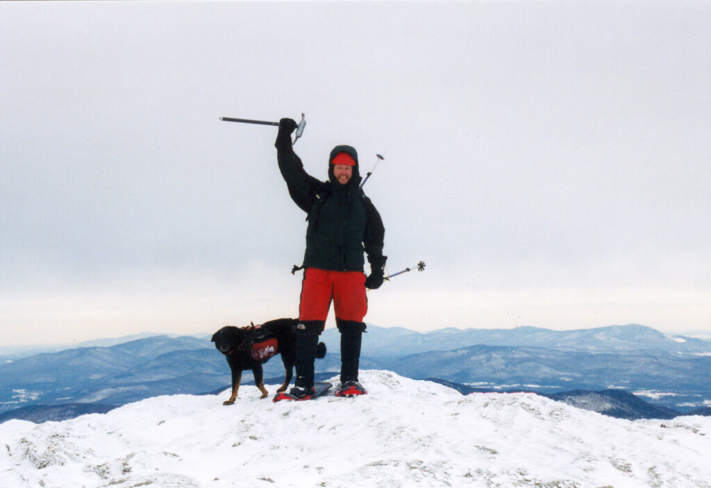
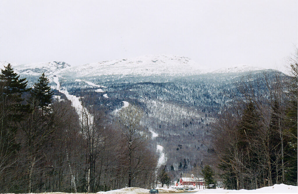
Mount Mansfield, Vermont lies at 4,393 feet MSL and is ranked #26 in elevation among US Highpoints. This would be my 6th US Highpoint of 2004. After the sufferfest of skiing down Greylock the day before, we decided to snowshoe our way to the top of Vermont. This would prove to be an excellent decision as the snow was terrible for skiing.
We began in the Stowe Mountain ski are parking lot during a day they were closed and hiked a trail just inside the woods on looker’s right of the area. Buried deep in the woods and high on the mountain we unexpectedly ran into a large public cabin, replete with sleeping areas and firewood. Because this was a surprise and time was chugging on, we made a quick visit and then headed up the mountain.
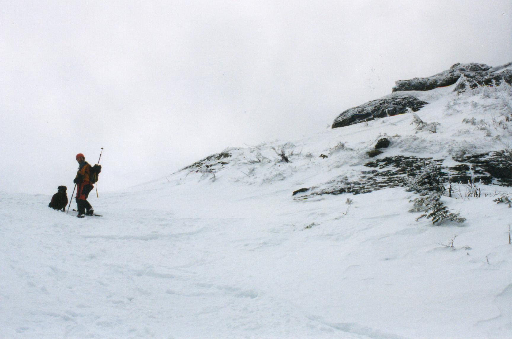
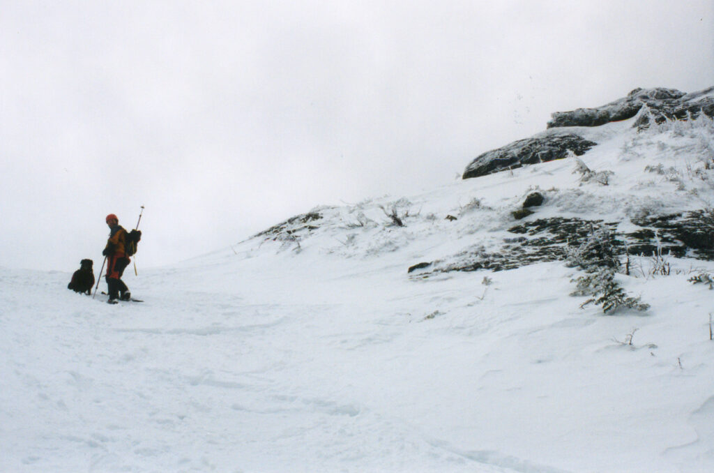
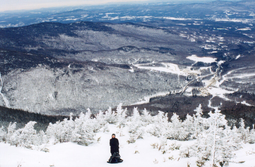
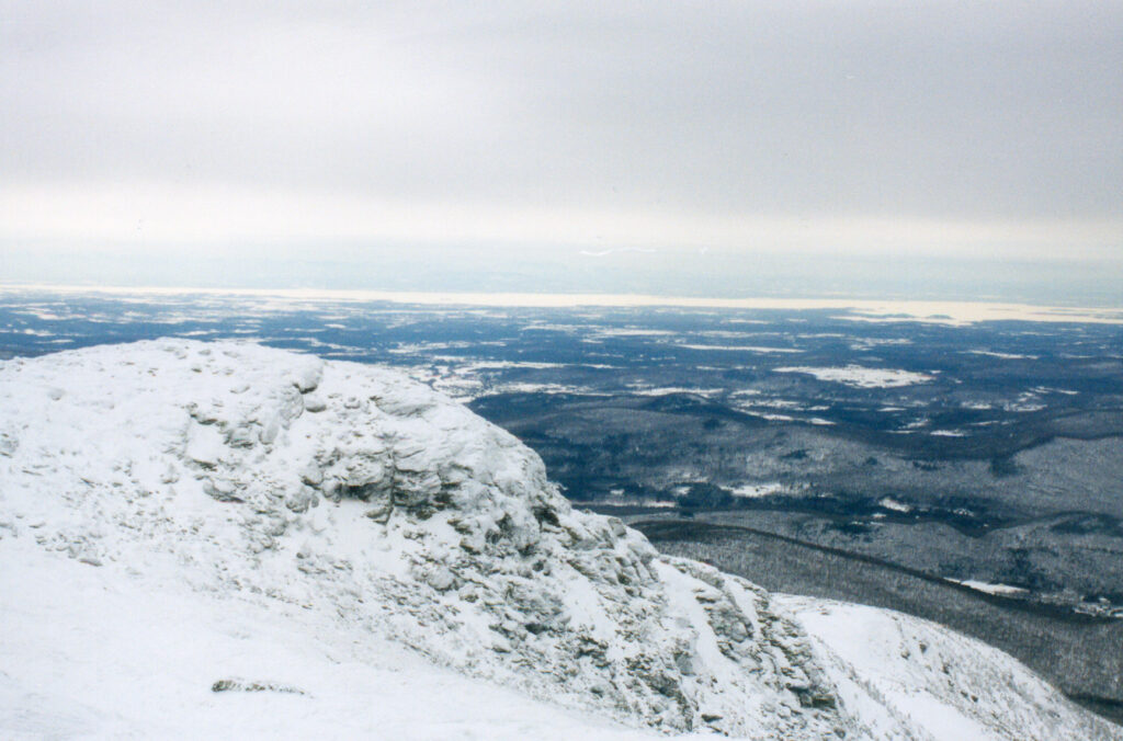
Mansfield is the highest point on a long ridge, and reaching a gully (couloir) below the summit we kick-stepped and front-pointed with our snowshoe crampons to the top. From the summit, Lake Champlain is visible to the west.
From here I would head to Hoosier Hill Indiana
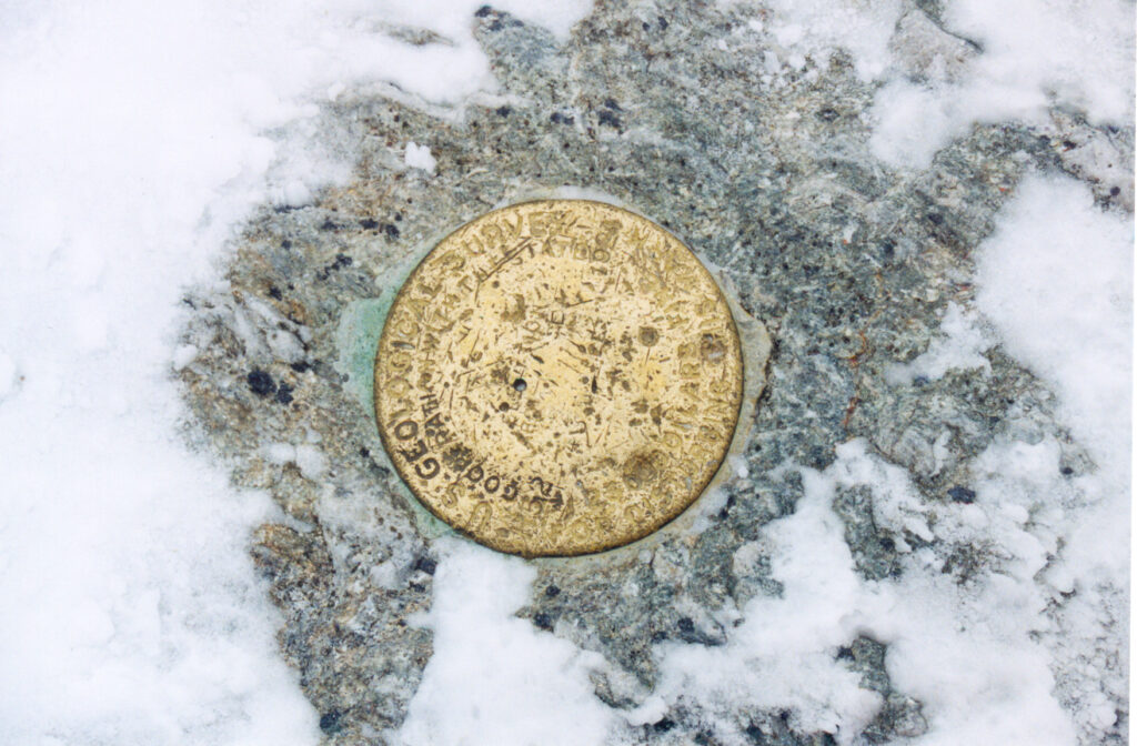
Did you have to uncover the benchmark, or was it already clear?
Great photos of you and T-bone!
I don’t remember. So many things from this long ago I’m just glad I have the photos hahaha.