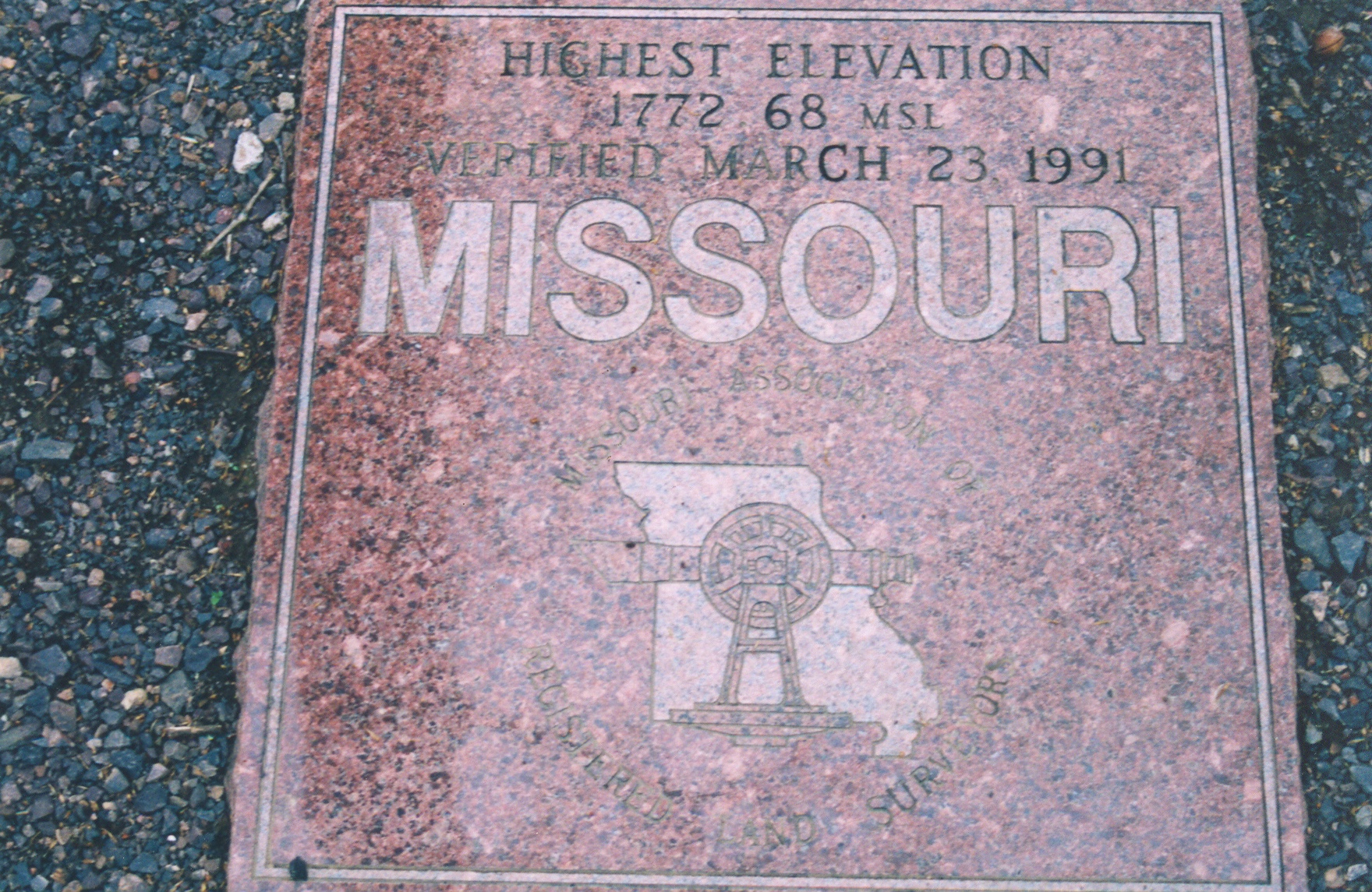
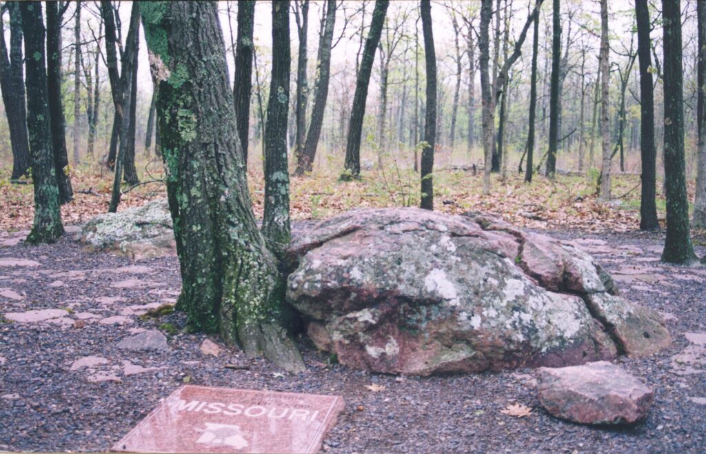
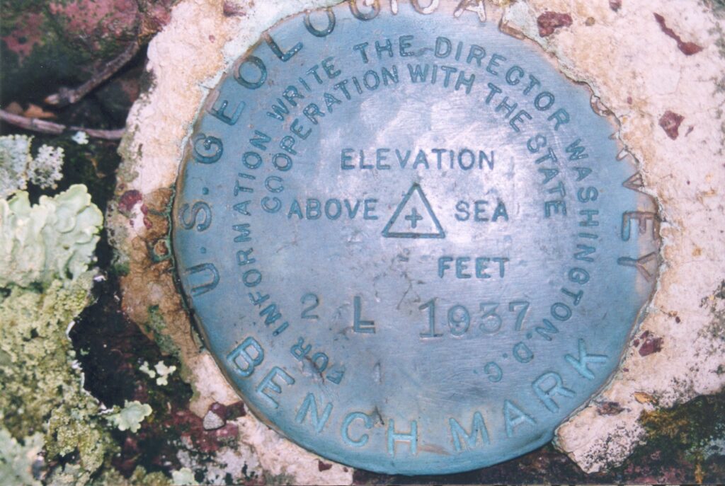
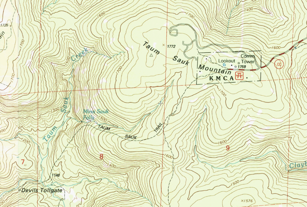
Taum Sauk Mountain, Missouri, lies at 1,772 feet MSL and is ranked #41 in elevation among US Highpoints. This would be my 22nd highpoint of 2004, and my 25th US Highpoint overall. Taum Sauk is a easy stroll along a paved trail in the woods and is located in Taum Sauk Mountain State Park in the St. Francois Mountains.
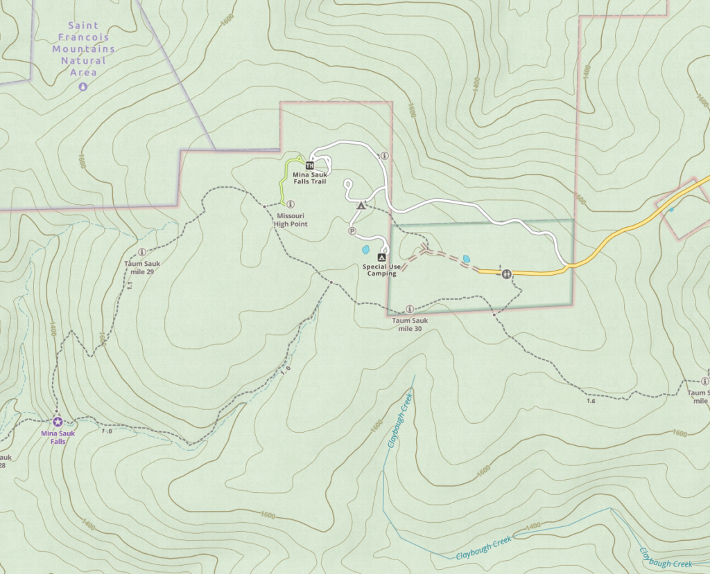
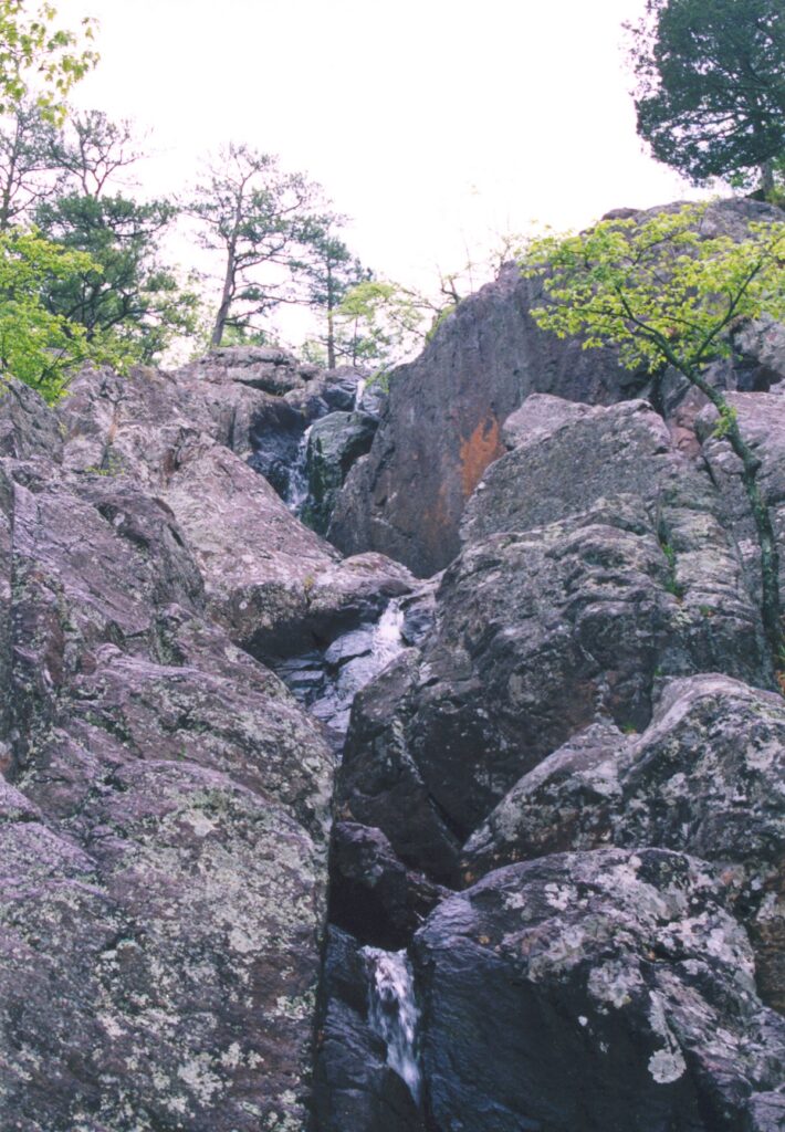
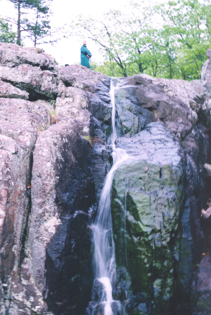
A nearby attraction is Mina Sauk Falls, the highest waterfall in Missouri, cascading 132 feet. Johnson’s Shut-Ins are also nearby but have somehow eluded visitation by me despite knowing about them most of my life.
The rocks on Taum Sauk Mountain are ancient. According to one online source, these rhyolite formations are over a billion years old, created by volcanic activity long before anything resembling modern life existed on Earth.
This is my halfway point in my US Highpointing quest, and since I grew up in Missouri, it seemed fitting.


Mina Sauk Falls
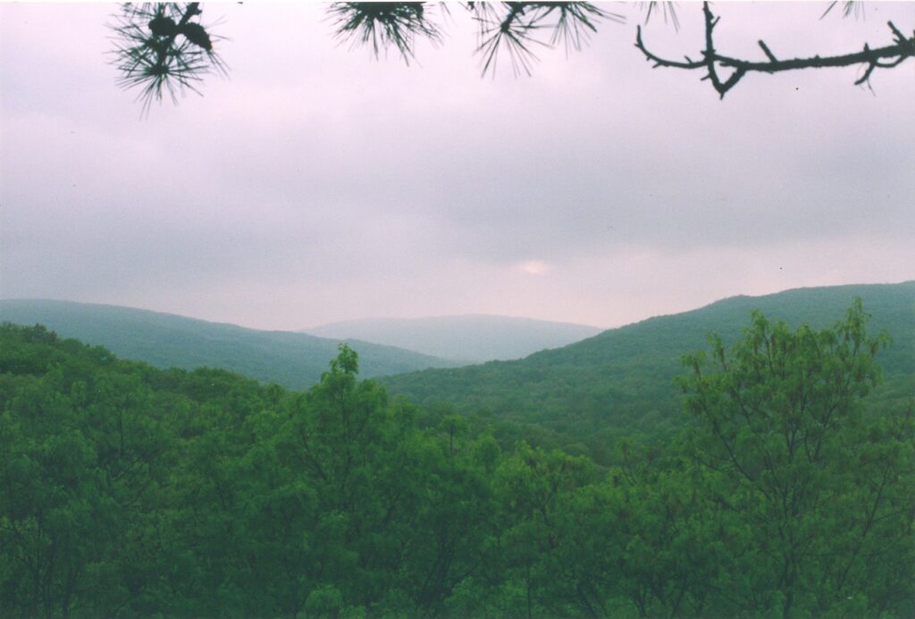
A short 1.1 mile hike from Taum Sauk is the star of the show, Mina Sauk Falls. From the falls you can appreciate Missouri’s highpoint, as vistas allow seeing the nearby rolling Ozark hills.


From here I would head to Panorama Point, Nebraska on my drive back to Montana to work on a mountain survey crew with Mikey.
The Johnson’s Shut-ins look awesome in the photo on wiki.
You are a cute love.