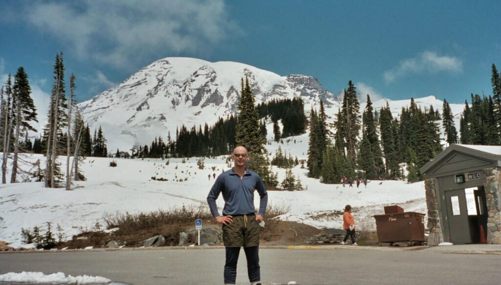
Tahoma (Mount Rainier), Washington, lies at 14,411 feet MSL and is ranked #4 in elevation among US Highpoints after Alaska, California, and Colorado. This was my second attempt on Tahoma and I led my friend and amateur mountaineer “Derp” to the top. We spent a day practicing self-rescue and reasoned, quite foolishly, that there were so many people on the route that we wouldn’t have to wait to get help if one of us ended up in a crevasse. Stupid but so were we and I was just 29 years old and my prefrontal cortex was barely developed.
We drove over from Missoula and initially had planned to spend three days on the mountain. There had been a storm just a few days before and the guided trips weren’t going up due to avalanche danger until the day we arrived.
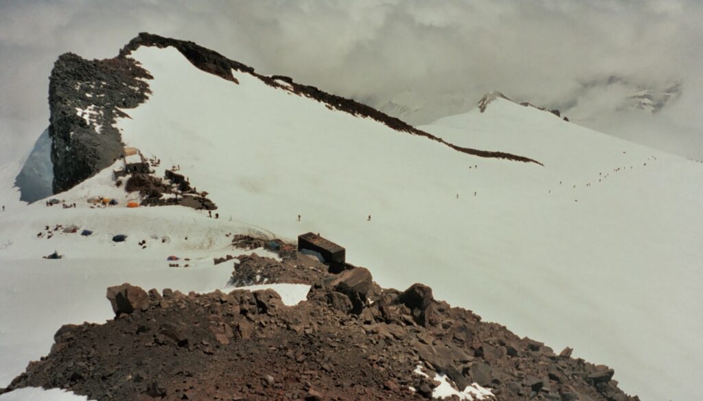
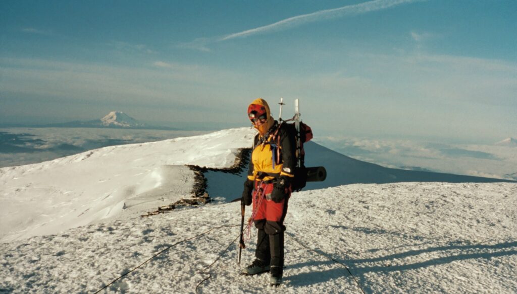
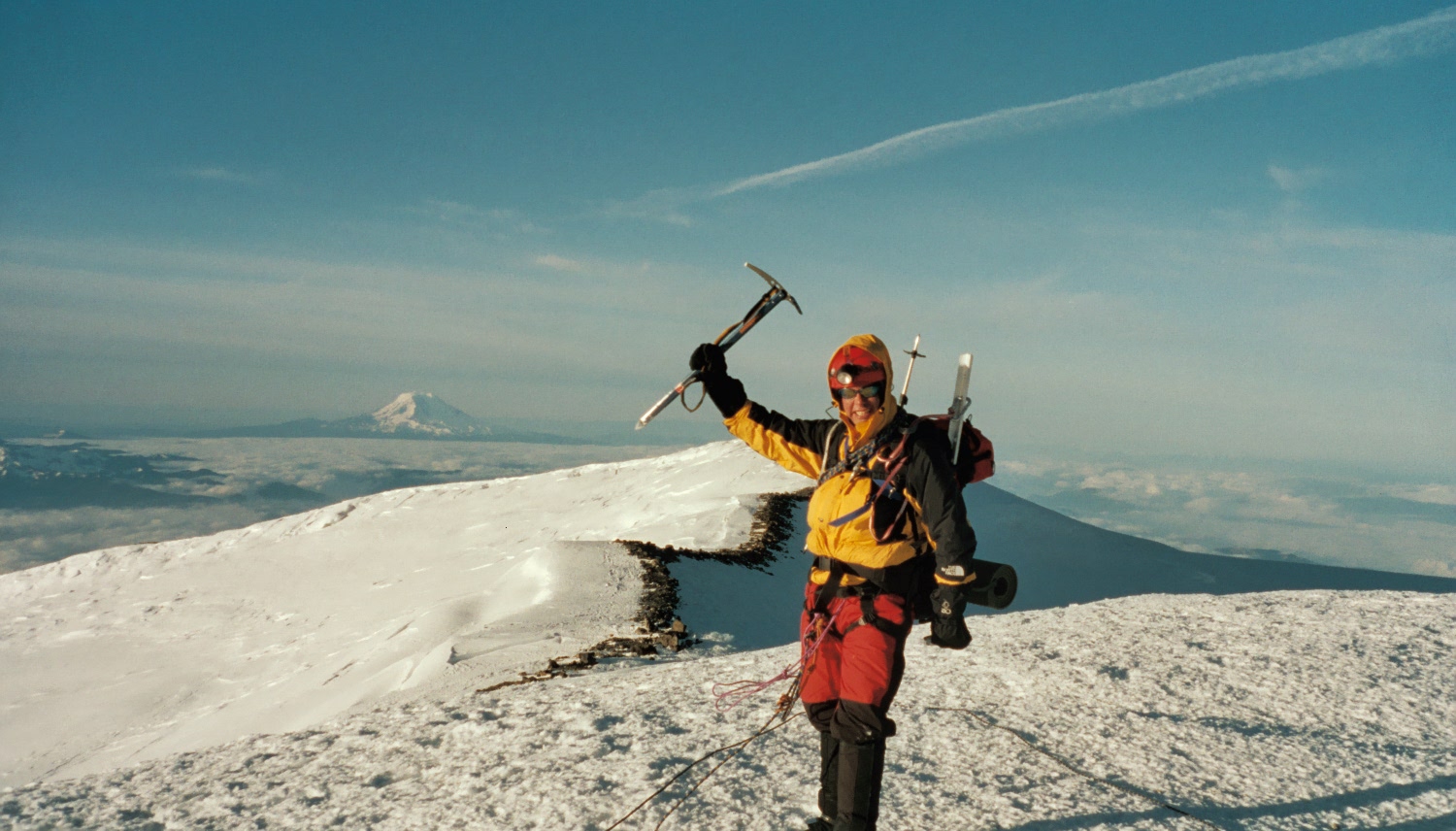
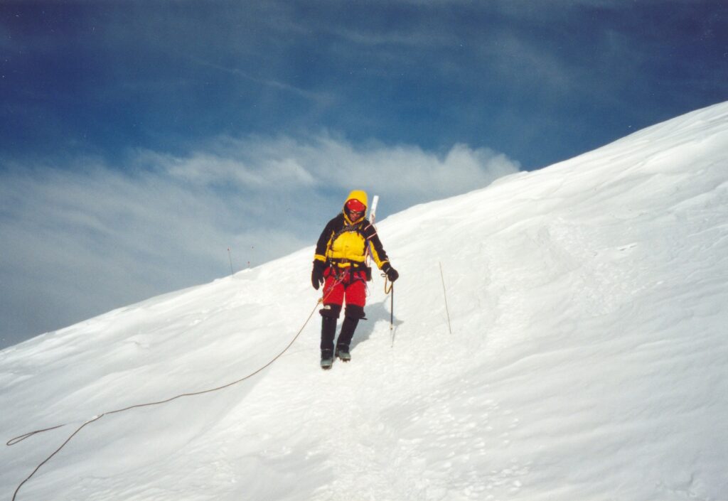
That night we would get up just after 9pm, make water for several hours, and leave Camp Muir just after midnight to be in front of the guided climbers, which is a mistake I made the year before. Here I am on Columbia Crest, the highest point of the mountain, just after dawn. It was seriously cold and we didn’t stay here longer than to just take photos. When we first crossed the ridge, we saw one of the steam caves but the walls were completely ice. I looked into it and steamed up my glasses. Then we decided to hike directly across the crater, instead of around the rim, reasoning that it would be fine unless the mountain erupted. On this part we passed a group of tents and fondly remember a 40-or-50-year old lady getting out of her tent and telling us she was on a multi-day “tourist” trip that traversed the mountain!
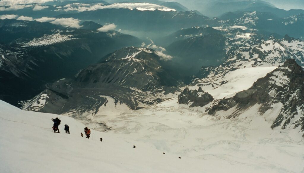
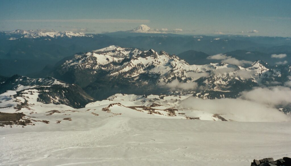
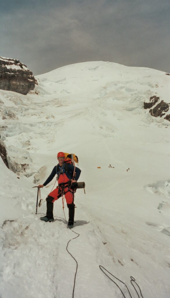
On the way down we passed all of the guided climbers coming up. Folks with altitude sickness had puked on nearly every switchback iirc. Note the receded glacier canyon at the left foreground. Photos can’t do this place justice. That’s 10,000+ foot Mount Tahoma on the right of the frame, a worthy objective in its own right.
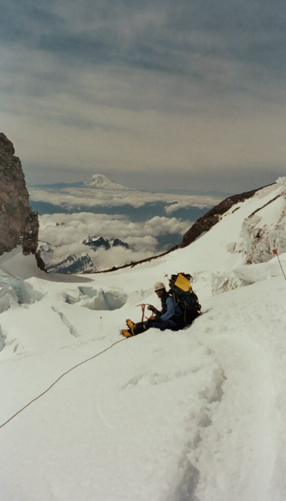
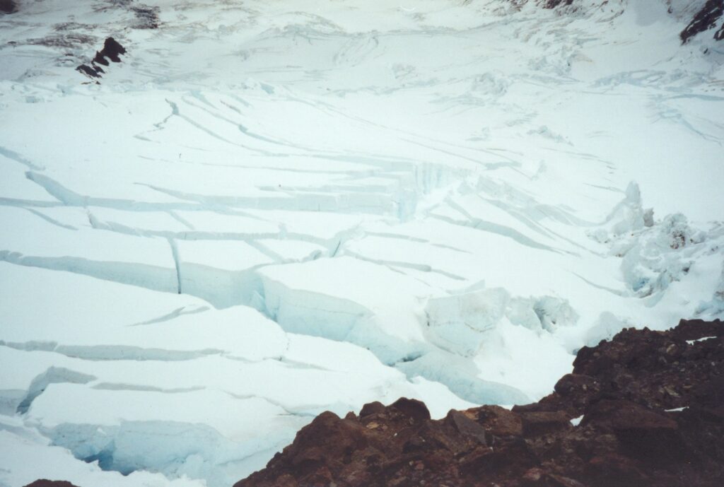
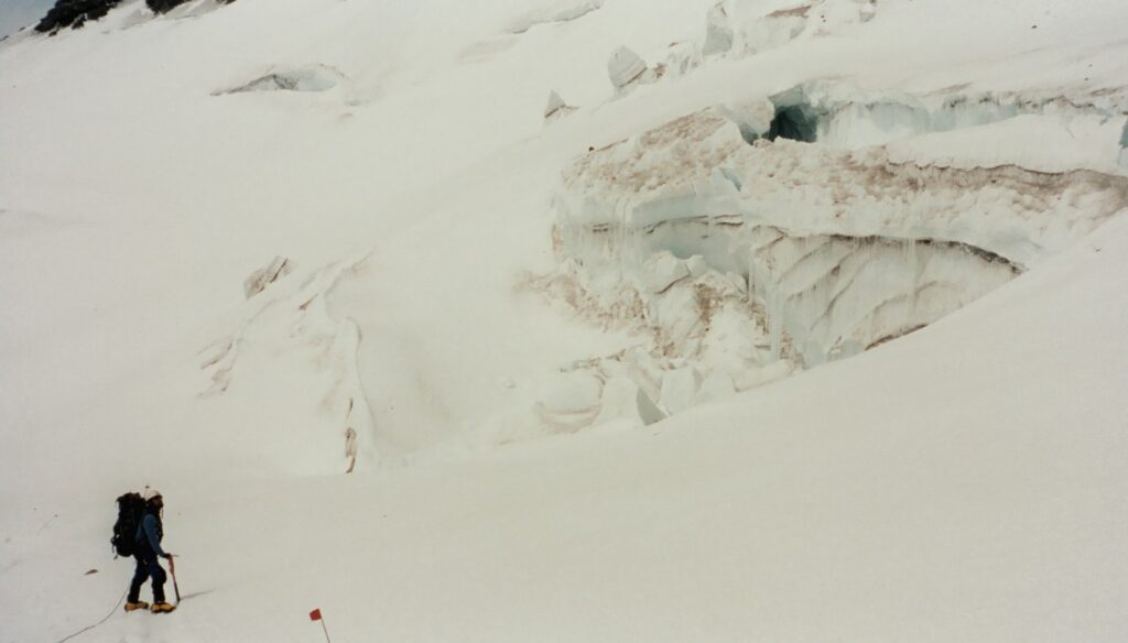
Roped travel is slow, and although we were on an established boot pack with wands, you never know when you’re going across a snow bridge with a deep crevasse below. Thankfully the guides had rigged the route including a clutch handline where we accessed the Cleaver as well as a aluminum ladder with a wood plank across one of the deep crevasses. Spicy!
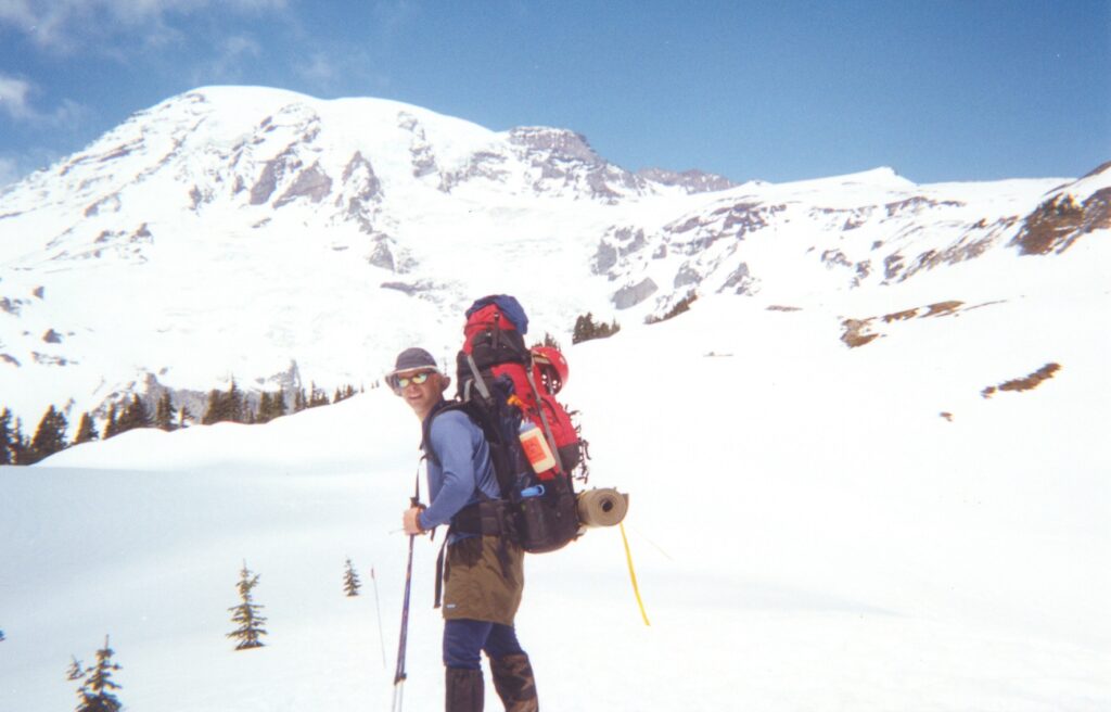
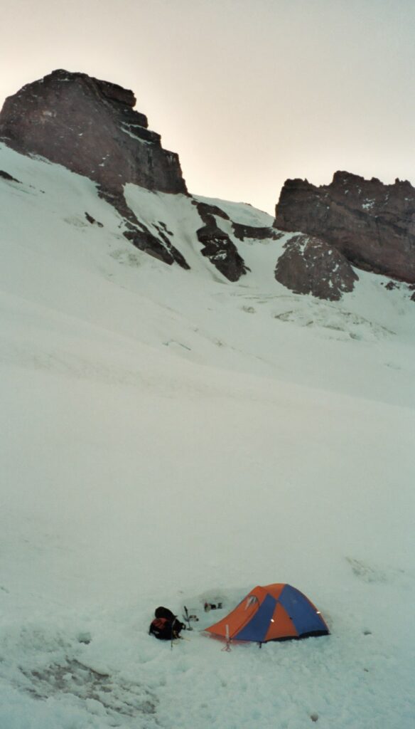
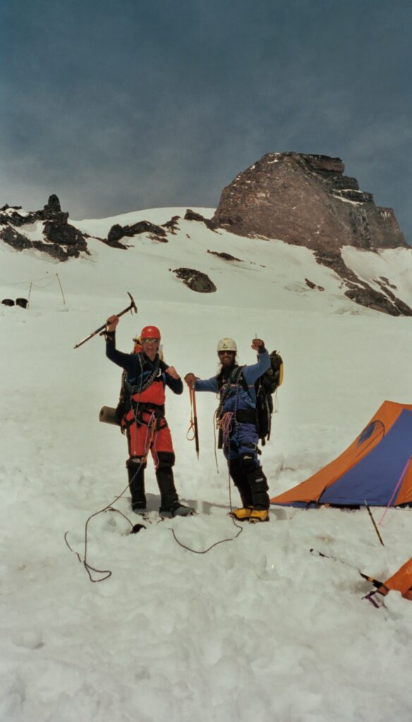
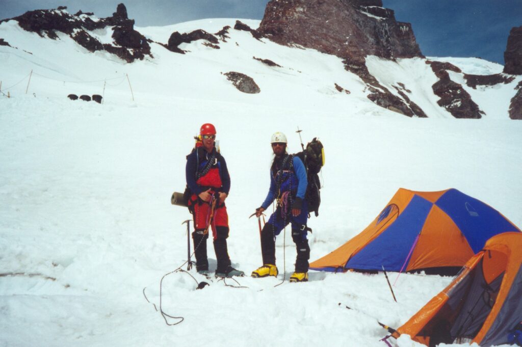
This is a photo from near Cathedral Rocks looking up at the Ingraham Glacier. Note tents to my right, there is a high camp there which allows for a shorter summit day. The rock on the right is the Disappointment Cleaver, and the Ingraham Direct (“ID”) route traverses directly up the face, albeit with much more objective danger than the DC.
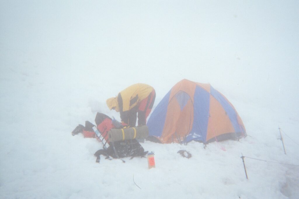
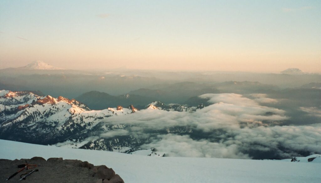
Shortly after the previous photos were taken, the fog moved in to almost zero visibility. Derp insisted we leave, and I continued to remind him about all the warnings about not traveling in these conditions, lest we loose the bootpack and wander into an active crevasse field, which many people had done before. He finally convinced me that if we lost the trail, we would stop and set up camp on the spot, which seemed reasonable at the time. (If this were to happen again I’d tell him to fuck off and take the nap that I wanted.) Turns out we got below the clouds so it wasn’t an epic.
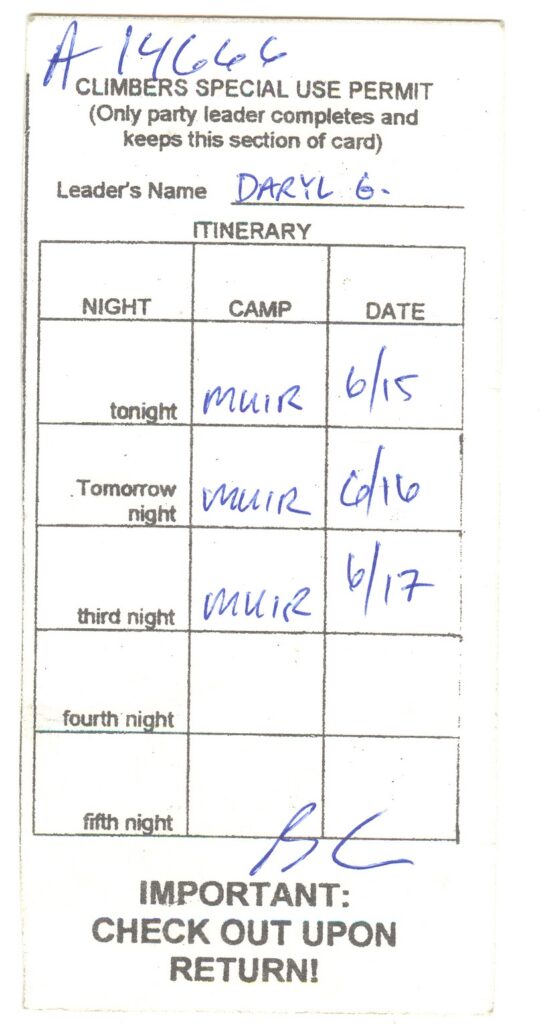
I didn’t have the heart to tell Derp that our permit ended with the numbers 666 until we were safely back at the car!!
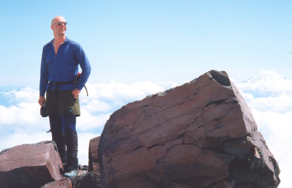
This is the story of my first US Highpoint. The next month my brother Mikey and I would climb Borah Peak Idaho.