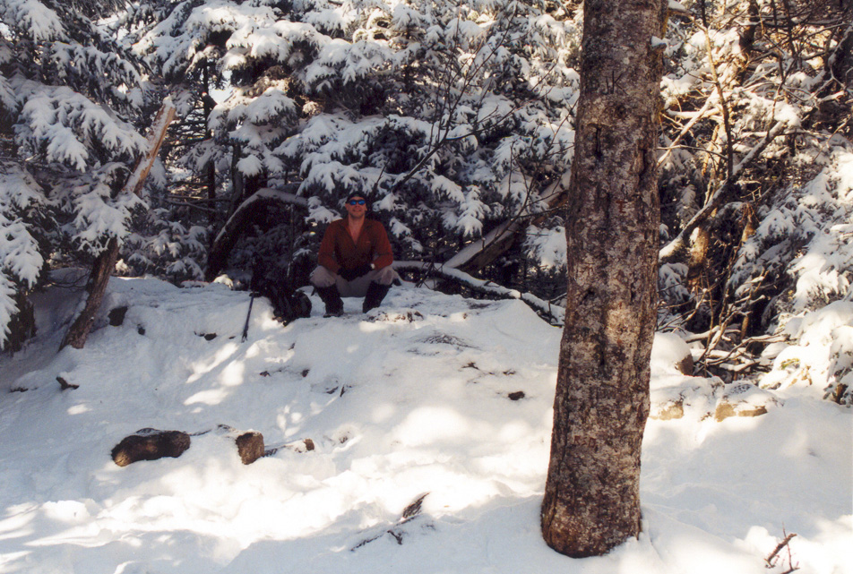
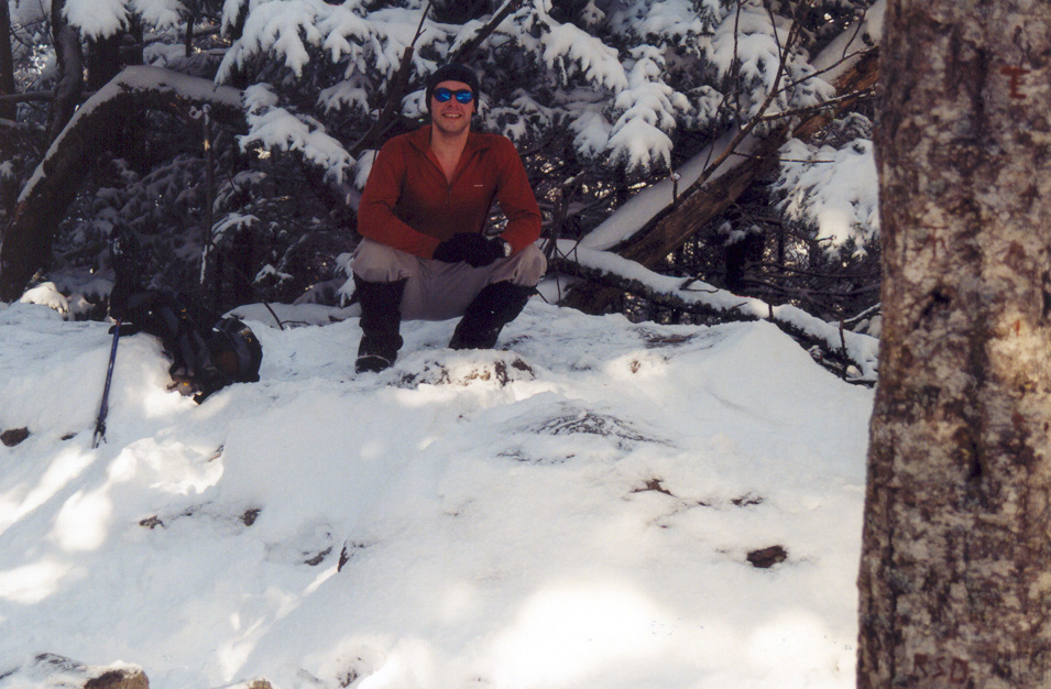
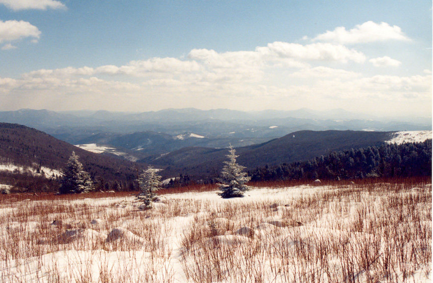
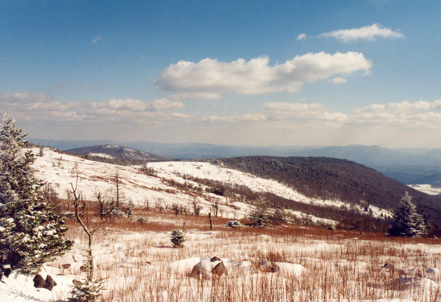
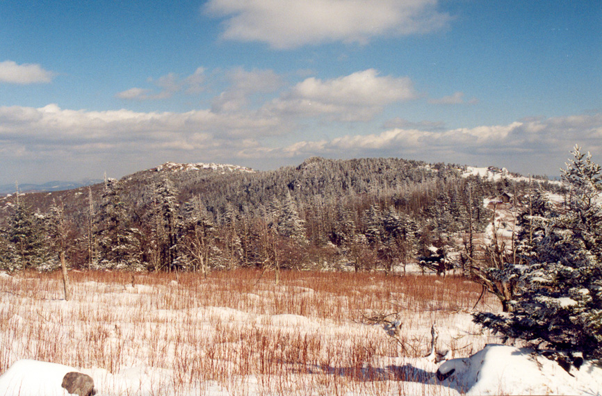
Mount Rogers, Virginia lies at 5,729 feet MSL and is ranked #19 in elevation among US Highpoints. This would be my 14th highpoint of 2004. Not a walk-up, Mount Rogers lies just off the Appalachin Trail (The “AT”) and requires a few miles of hiking to access. I parked at a nearby trailhead after spending the previous night in a warm hotel room nearby.
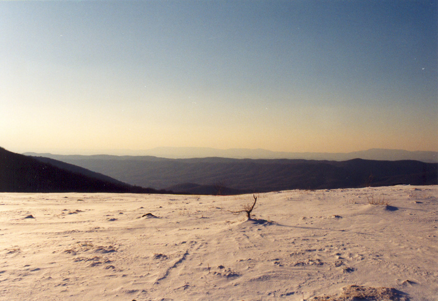
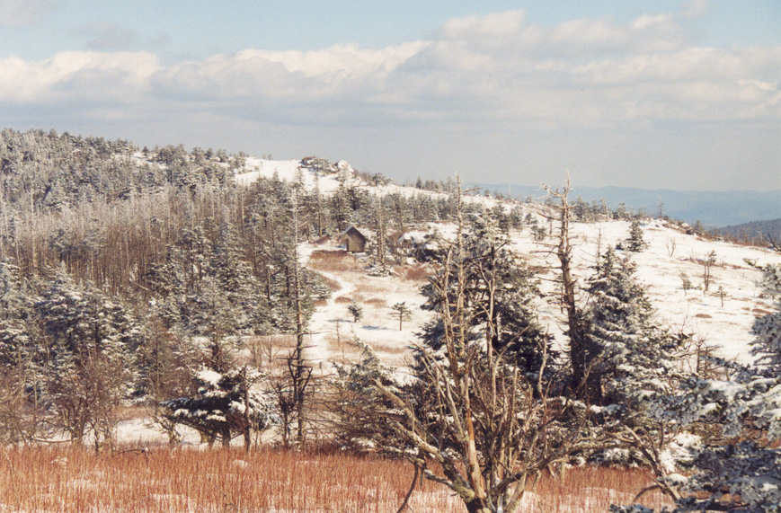
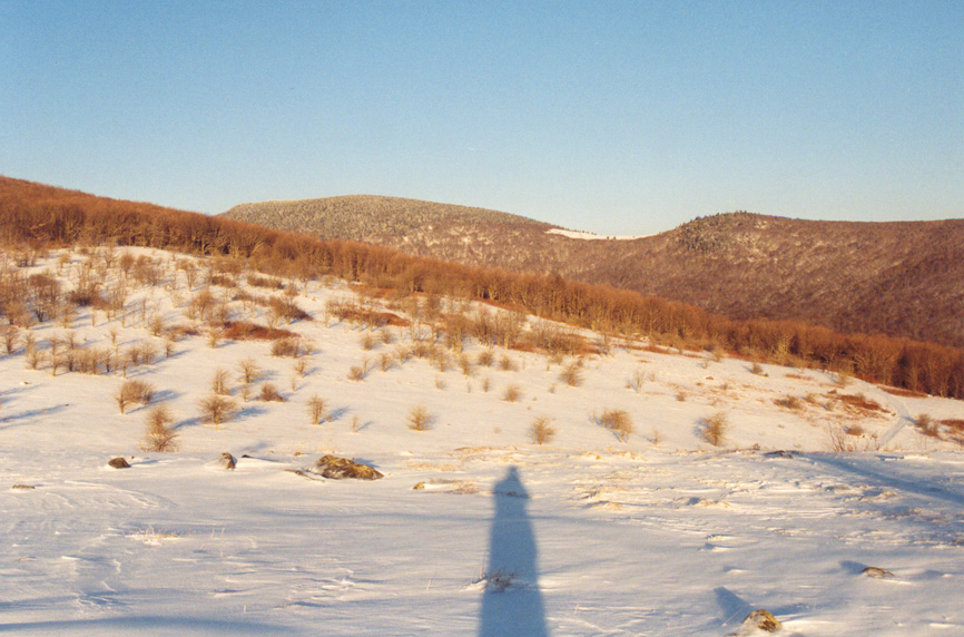
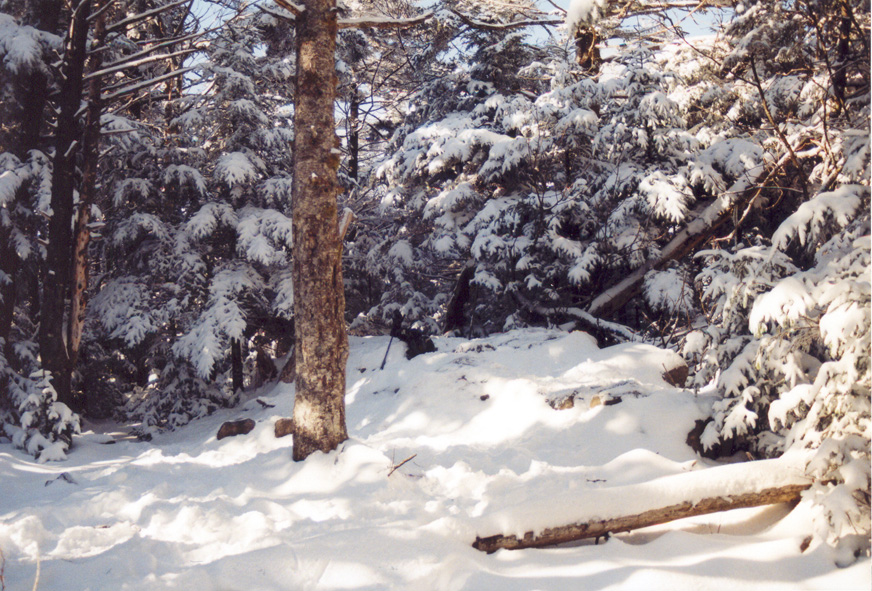
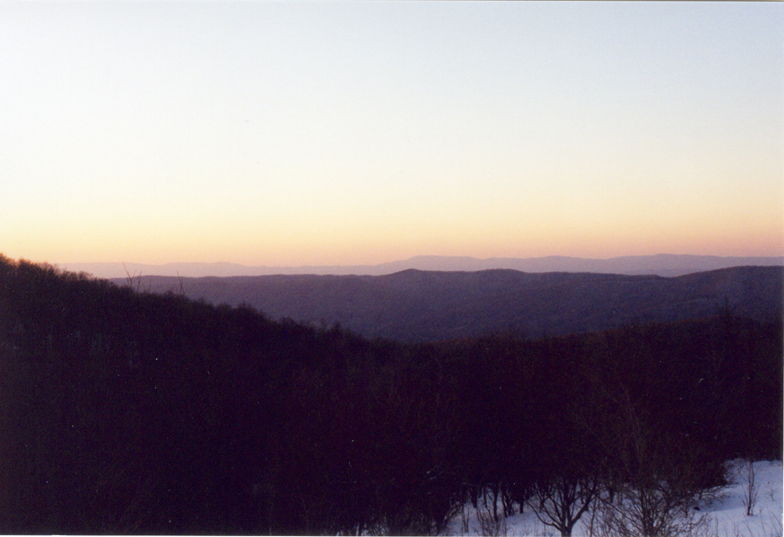
This was the first time I realized how massive the Appalachians are – from several vantage points along the AT, I could see mountains for miles and miles. They aren’t massively tall like the Rockies, but they are grand and I really enjoyed this short hike, passing near a classic lean-to on the way.

From here I would head to Kentucky’s Black Mountain the following day.
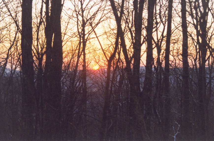
Such great light in these photos!